Via Claudia See topographic map
Interactive map
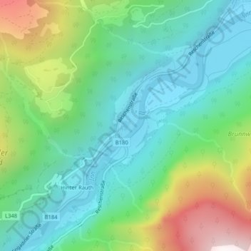
Click on the map to display elevation.
About this map
Name: Via Claudia See topographic map, elevation, terrain.
Average elevation: 1,326 m
Minimum elevation: 961 m
Maximum elevation: 2,188 m

Click on the map to display elevation.
Name: Via Claudia See topographic map, elevation, terrain.
Average elevation: 1,326 m
Minimum elevation: 961 m
Maximum elevation: 2,188 m