
شهر اهواز topographic map
Interactive map
Click on the map to display elevation.
About this map
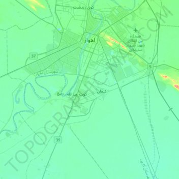
Name: شهر اهواز topographic map, elevation, terrain.
Location: شهر اهواز, بخش مرکزی, شهرستان اهواز, Khuzestan, Iran (31.10841 48.56224 31.38396 48.80529)
Average elevation: 15 m
Minimum elevation: -3 m
Maximum elevation: 101 m