
El Portachuelo topographic map
Interactive map
Click on the map to display elevation.
About this map
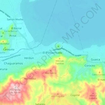
Name: El Portachuelo topographic map, elevation, terrain.
Location: El Portachuelo, Distrito Carlos Arvelo, Carabobo, Venezuela (10.05265 -67.90379 10.13265 -67.82379)
Average elevation: 483 m
Minimum elevation: 402 m
Maximum elevation: 756 m