
Woesten topographic map
Interactive map
Click on the map to display elevation.
About this map
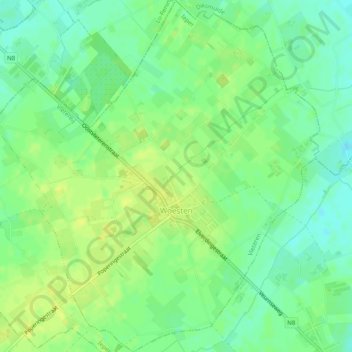
Name: Woesten topographic map, elevation, terrain.
Location: Woesten, Vleteren, Ypern, Westflandern, Flandern, Belgien (50.88796 2.76479 50.91896 2.81053)
Average elevation: 14 m
Minimum elevation: 5 m
Maximum elevation: 20 m