
Thank you for supporting this site ❤️
Make a donation
Make a donation
Ragay topographic map
Click on the map to display elevation.
Thank you for supporting this site ❤️
Make a donation
Make a donation
About this map
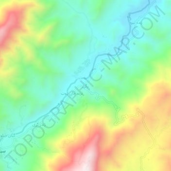
Name: Ragay topographic map, elevation, terrain.
Location: Ragay, Spera, Khost Province, Afghanistan (33.19814 69.52009 33.23814 69.56009)
Average elevation: 1,896 m
Minimum elevation: 1,605 m
Maximum elevation: 2,430 m
Thank you for supporting this site ❤️
Make a donation
Make a donation