
Pashpa topographic map
Interactive map
Click on the map to display elevation.
About this map
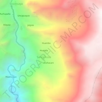
Name: Pashpa topographic map, elevation, terrain.
Location: Pashpa, Santa Rosa, Pampamarca, La Unión, Arequipa, Pérou (-15.14825 -72.89828 -15.10825 -72.85828)
Average elevation: 3,666 m
Minimum elevation: 2,741 m
Maximum elevation: 4,442 m