
Grote Nete topographic map
Interactive map
Click on the map to display elevation.
About this map
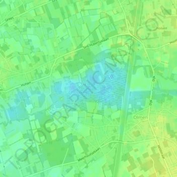
Name: Grote Nete topographic map, elevation, terrain.
Location: Grote Nete, Balen, Turnhout, Antwerpen, Vlaanderen, 2491, België (51.14359 5.12595 51.14997 5.14550)
Average elevation: 28 m
Minimum elevation: 19 m
Maximum elevation: 34 m
Other topographic maps
Click on a map to view its topography, its elevation and its terrain.
Molse Nete
België > Vlaanderen > Balen
Molse Nete, Balen, Turnhout, Antwerpen, Vlaanderen, <DIFFÉRENT>, België
Average elevation: 38 m