
Blanca topographic map
Interactive map
Click on the map to display elevation.
About this map
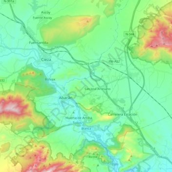
Name: Blanca topographic map, elevation, terrain.
Location: Blanca, Vega Alta del Segura, 30540, Spain (38.16006 -1.40434 38.27168 -1.21313)
Average elevation: 317 m
Minimum elevation: 106 m
Maximum elevation: 955 m