
Thank you for supporting this site ❤️
Make a donation
Make a donation
Gumjal topographic map
Click on the map to display elevation.
Thank you for supporting this site ❤️
Make a donation
Make a donation
About this map
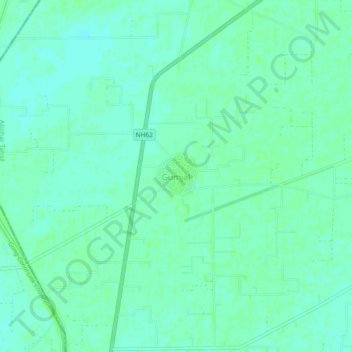
Name: Gumjal topographic map, elevation, terrain.
Location: Gumjal, Abohar Tahsil, Fazilka District, Punjab, India (29.97900 73.88977 30.01900 73.92977)
Average elevation: 178 m
Minimum elevation: 174 m
Maximum elevation: 180 m
Thank you for supporting this site ❤️
Make a donation
Make a donation