
Thank you for supporting this site ❤️
Make a donation
Make a donation
Schoonover Knob topographic map
Click on the map to display elevation.
Thank you for supporting this site ❤️
Make a donation
Make a donation
About this map
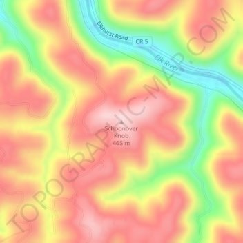
Name: Schoonover Knob topographic map, elevation, terrain.
Location: Schoonover Knob, Clay County, West Virginia, United States (38.43200 -81.13960 38.43210 -81.13950)
Average elevation: 353 m
Minimum elevation: 197 m
Maximum elevation: 457 m
Thank you for supporting this site ❤️
Make a donation
Make a donation