
Thank you for supporting this site ❤️
Make a donation
Make a donation
Markermeer topographic map
Click on the map to display elevation.
Thank you for supporting this site ❤️
Make a donation
Make a donation
About this map
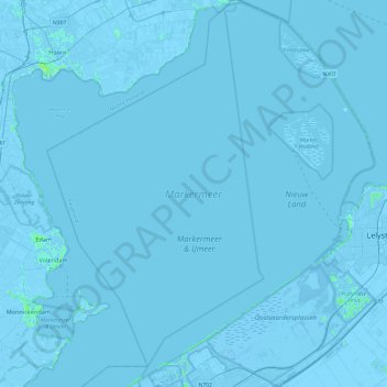
Name: Markermeer topographic map, elevation, terrain.
Location: Markermeer, Flevoland, Nederland (52.39980 5.01565 52.69228 5.46742)
Average elevation: -1 m
Minimum elevation: -9 m
Maximum elevation: 7 m
Thank you for supporting this site ❤️
Make a donation
Make a donation
Other topographic maps
Click on a map to view its topography, its elevation and its terrain.