
Thank you for supporting this site ❤️
Make a donation
Make a donation
Aubechies topographic map
Click on the map to display elevation.
Thank you for supporting this site ❤️
Make a donation
Make a donation
About this map
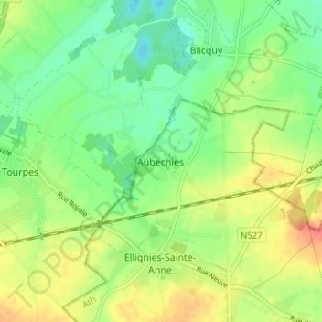
Name: Aubechies topographic map, elevation, terrain.
Location: Aubechies, Belœil, Ath, Hainaut, Wallonie, 7972, Belgique (50.55392 3.65682 50.59392 3.69682)
Average elevation: 57 m
Minimum elevation: 37 m
Maximum elevation: 82 m
Thank you for supporting this site ❤️
Make a donation
Make a donation