
Auvernier topographic map
Interactive map
Click on the map to display elevation.
About this map
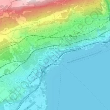
Name: Auvernier topographic map, elevation, terrain.
Location: Auvernier, District de Boudry, Neuchâtel, 2012, Suisse (46.95640 6.85863 46.99640 6.89863)
Average elevation: 516 m
Minimum elevation: 422 m
Maximum elevation: 818 m