
Thank you for supporting this site ❤️
Make a donation
Make a donation
Tākaka Hill topographic map
Click on the map to display elevation.
Thank you for supporting this site ❤️
Make a donation
Make a donation
About this map
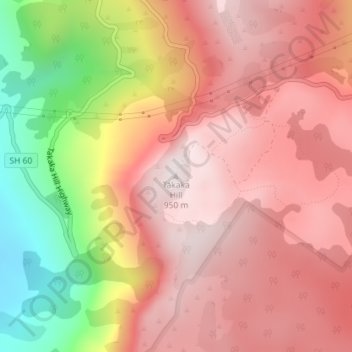
Name: Tākaka Hill topographic map, elevation, terrain.
Location: Tākaka Hill, Tasman, New Zealand (-41.03769 172.85613 -41.03759 172.85623)
Average elevation: 649 m
Minimum elevation: 135 m
Maximum elevation: 938 m
Thank you for supporting this site ❤️
Make a donation
Make a donation
Other topographic maps
Click on a map to view its topography, its elevation and its terrain.