
Самош topographic map
Interactive map
Click on the map to display elevation.
About this map
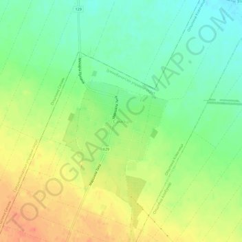
Name: Самош topographic map, elevation, terrain.
Location: Самош, Јужнобанатски управни округ, Vojvodina, Servië (45.18317 20.75501 45.22317 20.79501)
Average elevation: 99 m
Minimum elevation: 77 m
Maximum elevation: 125 m