
Thank you for supporting this site ❤️
Make a donation
Make a donation
Nameless Island topographic map
Click on the map to display elevation.
Thank you for supporting this site ❤️
Make a donation
Make a donation
About this map
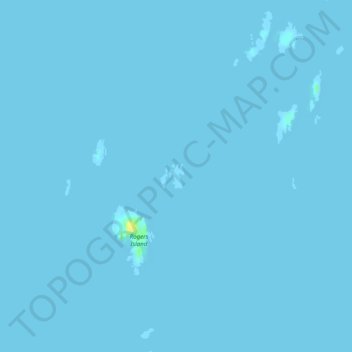
Name: Nameless Island topographic map, elevation, terrain.
Location: Nameless Island, Sitka, Alaska, United States (56.78443 -135.46190 56.78639 -135.45975)
Average elevation: 0 m
Minimum elevation: -1 m
Maximum elevation: 20 m
Thank you for supporting this site ❤️
Make a donation
Make a donation
Other topographic maps
Click on a map to view its topography, its elevation and its terrain.
Thank you for supporting this site ❤️
Make a donation
Make a donation
Thank you for supporting this site ❤️
Make a donation
Make a donation