
Baar topographic map
Interactive map
Click on the map to display elevation.
About this map
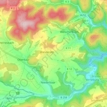
Name: Baar topographic map, elevation, terrain.
Average elevation: 487 m
Minimum elevation: 375 m
Maximum elevation: 656 m
Other topographic maps
Click on a map to view its topography, its elevation and its terrain.
Andernach
Allemagne > Rhénanie-Palatinat > Landkreis Mayen-Koblenz > Andernach
Andernach, Landkreis Mayen-Koblenz, Rhénanie-Palatinat, 56626, Allemagne
Average elevation: 154 m