
Hirschkampsiedlung topographic map
Interactive map
Click on the map to display elevation.
About this map
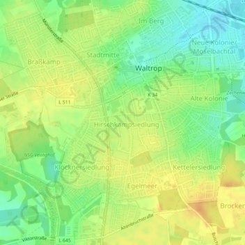
Name: Hirschkampsiedlung topographic map, elevation, terrain.
Average elevation: 72 m
Minimum elevation: 54 m
Maximum elevation: 87 m
Other topographic maps
Click on a map to view its topography, its elevation and its terrain.
Waltrop
Duitsland > Noordrijn-Westfalen > Waltrop > Waltrop
Waltrop, Kreis Recklinghausen, Noordrijn-Westfalen, 45731, Duitsland
Average elevation: 63 m