
JAYBANGA topographic map
Interactive map
Click on the map to display elevation.
About this map
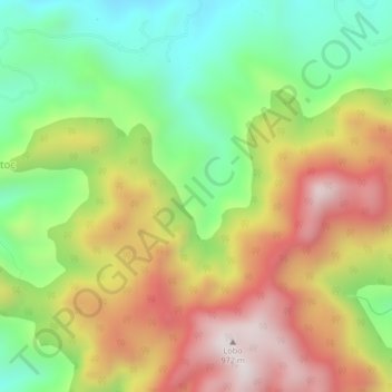
Name: JAYBANGA topographic map, elevation, terrain.
Location: JAYBANGA, Batangas, Calabarzon, Philippines (13.64407 121.26719 13.68407 121.30719)
Average elevation: 502 m
Minimum elevation: 99 m
Maximum elevation: 972 m