
Goudinière topographic map
Interactive map
Click on the map to display elevation.
About this map
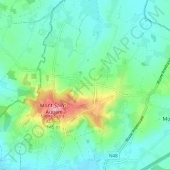
Name: Goudinière topographic map, elevation, terrain.
Location: Goudinière, Tournai, Hainaut, Wallonie, 7542, Belgique (50.64098 3.39173 50.68098 3.43173)
Average elevation: 50 m
Minimum elevation: 21 m
Maximum elevation: 140 m