
Oued Isser topographic map
Interactive map
Click on the map to display elevation.
About this map
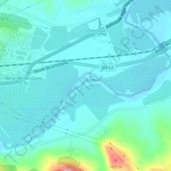
Name: Oued Isser topographic map, elevation, terrain.
Location: Oued Isser, Isser, Daïra Isser, Boumerdès, 35028, Algérie (36.71786 3.63435 36.71970 3.64042)
Average elevation: 44 m
Minimum elevation: 20 m
Maximum elevation: 178 m