
Thank you for supporting this site ❤️
Make a donation
Make a donation
Horseshoe Bend topographic map
Click on the map to display elevation.
Thank you for supporting this site ❤️
Make a donation
Make a donation
Horseshoe Bend
The area was originally settled as a gold miners' staging area, as prospectors waited along the river for snows to thaw at the higher elevations. Gold had been discovered in 1862 in the Boise Basin mountains to the east, near Idaho City.
Thank you for supporting this site ❤️
Make a donation
Make a donation
About this map
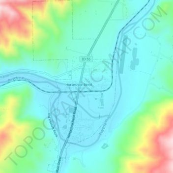
Name: Horseshoe Bend topographic map, elevation, terrain.
Location: Horseshoe Bend, Boise County, Idaho, United States (43.89845 -116.21011 43.92994 -116.18873)
Average elevation: 867 m
Minimum elevation: 784 m
Maximum elevation: 1,125 m
Thank you for supporting this site ❤️
Make a donation
Make a donation