
Santa Cruz topographic map
Click on the map to display elevation.
About this map
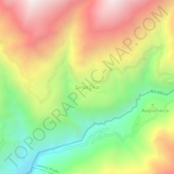
Name: Santa Cruz topographic map, elevation, terrain.
Location: Santa Cruz, Leoncio Prado, Huaura, Lima, Perú (-11.07978 -76.94969 -11.03978 -76.90969)
Average elevation: 3,338 m
Minimum elevation: 2,560 m
Maximum elevation: 4,196 m