
Thorntonville topographic map
Interactive map
Click on the map to display elevation.
About this map
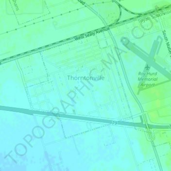
Name: Thorntonville topographic map, elevation, terrain.
Location: Thorntonville, Ward County, Texas, États-Unis d'Amérique (31.57084 -102.93237 31.58733 -102.91263)
Average elevation: 794 m
Minimum elevation: 791 m
Maximum elevation: 799 m