
Thank you for supporting this site ❤️
Make a donation
Make a donation
San Jorge topographic map
Click on the map to display elevation.
Thank you for supporting this site ❤️
Make a donation
Make a donation
About this map
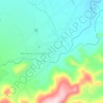
Name: San Jorge topographic map, elevation, terrain.
Location: San Jorge, Zacapa, Guatemala (14.90438 -89.60971 14.94438 -89.56971)
Average elevation: 316 m
Minimum elevation: 215 m
Maximum elevation: 591 m
Thank you for supporting this site ❤️
Make a donation
Make a donation
Other topographic maps
Click on a map to view its topography, its elevation and its terrain.