
Gonar topographic map
Interactive map
Click on the map to display elevation.
About this map
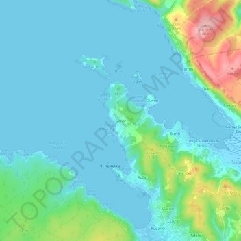
Name: Gonar topographic map, elevation, terrain.
Location: Gonar, Grad Rab, Primorsko-goranska županija, 51281, Kroatië (44.78287 14.68160 44.82287 14.72160)
Average elevation: 27 m
Minimum elevation: -2 m
Maximum elevation: 143 m