
Landquart topographic map
Interactive map
Click on the map to display elevation.
About this map
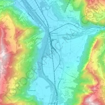
Name: Landquart topographic map, elevation, terrain.
Location: Landquart, Grisons, Suisse (46.93625 9.49835 46.97657 9.61162)
Average elevation: 856 m
Minimum elevation: 500 m
Maximum elevation: 1,783 m