
Nevele topographic map
Interactive map
Click on the map to display elevation.
About this map
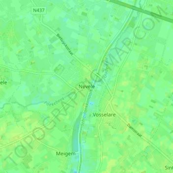
Name: Nevele topographic map, elevation, terrain.
Location: Nevele, Ostflandern, Flandern, 9850, Belgien (51.01304 3.52911 51.05304 3.56911)
Average elevation: 9 m
Minimum elevation: 2 m
Maximum elevation: 13 m