
Mishima topographic map
Click on the map to display elevation.
About this map
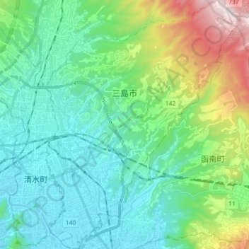
Name: Mishima topographic map, elevation, terrain.
Location: Mishima, Shizuoka Prefecture, Japan (35.07547 138.90441 35.18980 139.01383)
Average elevation: 137 m
Minimum elevation: -1 m
Maximum elevation: 767 m
Other topographic maps
Click on a map to view its topography, its elevation and its terrain.