
Thank you for supporting this site ❤️
Make a donation
Make a donation
San Andres topographic map
Click on the map to display elevation.
Thank you for supporting this site ❤️
Make a donation
Make a donation
About this map
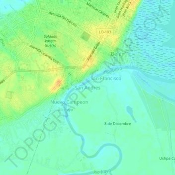
Name: San Andres topographic map, elevation, terrain.
Location: San Andres, Belén, Maynas, Loreto, 16002, Perú (-3.78962 -73.27520 -3.74962 -73.23520)
Average elevation: 89 m
Minimum elevation: 79 m
Maximum elevation: 106 m
Thank you for supporting this site ❤️
Make a donation
Make a donation