
Thank you for supporting this site ❤️
Make a donation
Make a donation
Al Talaah topographic map
Click on the map to display elevation.
Thank you for supporting this site ❤️
Make a donation
Make a donation
About this map
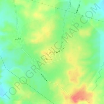
Name: Al Talaah topographic map, elevation, terrain.
Location: Al Talaah, Al Midhnab, Al-Qassim Province, Saudi Arabia (25.84832 44.07147 25.88832 44.11147)
Average elevation: 723 m
Minimum elevation: 698 m
Maximum elevation: 756 m
Thank you for supporting this site ❤️
Make a donation
Make a donation