

Loreley topographic map
Click on the map to display elevation.
Loreley
Die Loreley ist eine 132 Meter hohe Schieferfelswand bei Sankt Goarshausen in Rheinland-Pfalz, an der tiefsten und engsten Stelle des Mittelrheins gelegen. Sie ragt am rechten Ufer des Rheins bei Stromkilometer 555 bis auf 193,14 m ü. NN steil in die Höhe und bietet eine weite Aussicht auf die Flussschleife bei Sankt Goarshausen und die Burg Katz.
About this map
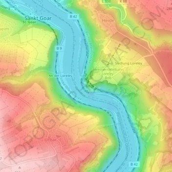
Name: Loreley topographic map, elevation, terrain.
Average elevation: 199 m
Minimum elevation: 66 m
Maximum elevation: 329 m