
Thank you for supporting this site ❤️
Make a donation
Make a donation
La Greda topographic map
Click on the map to display elevation.
Thank you for supporting this site ❤️
Make a donation
Make a donation
About this map
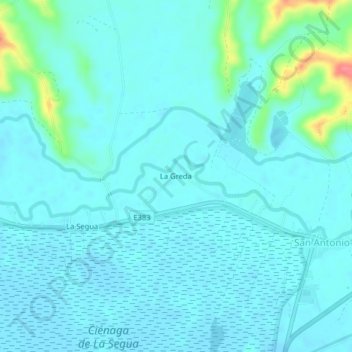
Name: La Greda topographic map, elevation, terrain.
Location: La Greda, San Antonio, Chone, Manabí, 130705, Ecuador (-0.71739 -80.20250 -0.67739 -80.16250)
Average elevation: 11 m
Minimum elevation: -1 m
Maximum elevation: 76 m
Thank you for supporting this site ❤️
Make a donation
Make a donation