
Thank you for supporting this site ❤️
Make a donation
Make a donation
Tibshelf topographic map
Click on the map to display elevation.
Thank you for supporting this site ❤️
Make a donation
Make a donation
About this map
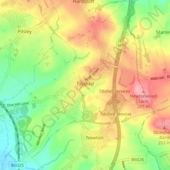
Name: Tibshelf topographic map, elevation, terrain.
Location: Tibshelf, Bolsover, Derbyshire, England, United Kingdom (53.12246 -1.37783 53.16260 -1.31884)
Average elevation: 152 m
Minimum elevation: 98 m
Maximum elevation: 210 m
Thank you for supporting this site ❤️
Make a donation
Make a donation