
Thank you for supporting this site ❤️
Make a donation
Make a donation
Aguscello topographic map
Click on the map to display elevation.
Thank you for supporting this site ❤️
Make a donation
Make a donation
About this map
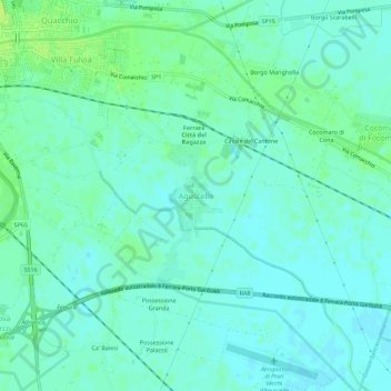
Name: Aguscello topographic map, elevation, terrain.
Location: Aguscello, Ferrara, Emilia-Romagna, 44124, Italia (44.78784 11.64053 44.82784 11.68053)
Average elevation: 5 m
Minimum elevation: 0 m
Maximum elevation: 14 m
Thank you for supporting this site ❤️
Make a donation
Make a donation