
Thank you for supporting this site ❤️
Make a donation
Make a donation
Kampung Pulau topographic map
Click on the map to display elevation.
Thank you for supporting this site ❤️
Make a donation
Make a donation
About this map
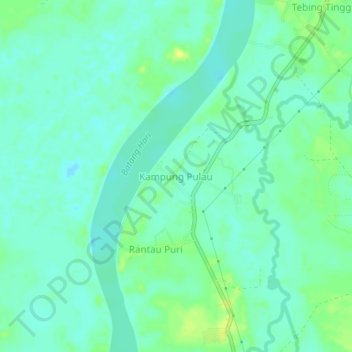
Name: Kampung Pulau topographic map, elevation, terrain.
Location: Kampung Pulau, Batanghari, Jambi, Indonesia (-1.67458 103.29956 -1.63458 103.33956)
Average elevation: 16 m
Minimum elevation: 9 m
Maximum elevation: 27 m
Thank you for supporting this site ❤️
Make a donation
Make a donation
Other topographic maps
Click on a map to view its topography, its elevation and its terrain.