
Prince Albert topographic map
Interactive map
Click on the map to display elevation.
About this map
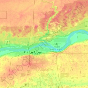
Name: Prince Albert topographic map, elevation, terrain.
Location: Prince Albert, Saskatchewan, Canada (53.16934 -105.81719 53.26335 -105.53701)
Average elevation: 453 m
Minimum elevation: 417 m
Maximum elevation: 489 m