
Mont Terri topographic map
Interactive map
Click on the map to display elevation.
About this map
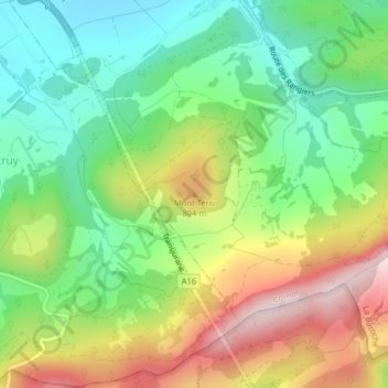
Name: Mont Terri topographic map, elevation, terrain.
Location: Mont Terri, Cornol, District de Porrentruy, Jura, 2952, Suisse (47.39157 7.16122 47.39167 7.16132)
Average elevation: 668 m
Minimum elevation: 500 m
Maximum elevation: 918 m