
Hornocal topographic map
Interactive map
Click on the map to display elevation.
About this map
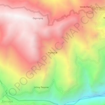
Name: Hornocal topographic map, elevation, terrain.
Location: Hornocal, Canaria, Víctor Fajardo, Ayacucho, Pérou (-14.01471 -73.97701 -13.97471 -73.93701)
Average elevation: 3,664 m
Minimum elevation: 2,710 m
Maximum elevation: 4,331 m