
Thank you for supporting this site ❤️
Make a donation
Make a donation
Beuningen topographic map
Click on the map to display elevation.
Thank you for supporting this site ❤️
Make a donation
Make a donation
About this map
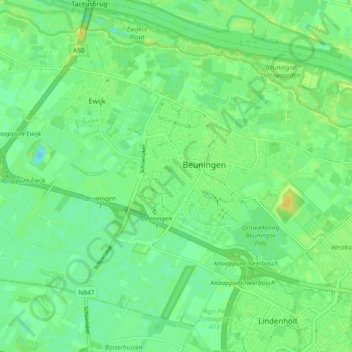
Name: Beuningen topographic map, elevation, terrain.
Location: Beuningen, Gelderland, Nederland (51.83227 5.71763 51.88112 5.81031)
Average elevation: 9 m
Minimum elevation: 0 m
Maximum elevation: 20 m
Thank you for supporting this site ❤️
Make a donation
Make a donation