
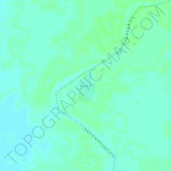
Arata topographic map
Interactive map
Click on the map to display elevation.
About this map
Name: Arata topographic map, elevation, terrain.
Location: Arata, Sila سيلا, Tschad (11.80671 21.34090 11.84671 21.38090)
Average elevation: 495 m
Minimum elevation: 491 m
Maximum elevation: 497 m