
Thank you for supporting this site ❤️
Make a donation
Make a donation
La Sarine topographic map
Click on the map to display elevation.
Thank you for supporting this site ❤️
Make a donation
Make a donation
About this map
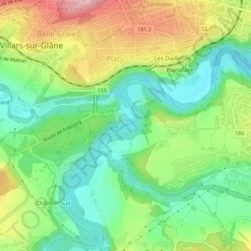
Name: La Sarine topographic map, elevation, terrain.
Location: La Sarine, Marly, Sarine District, Fribourg, 1752, Switzerland (46.78212 7.12968 46.78319 7.13223)
Average elevation: 621 m
Minimum elevation: 553 m
Maximum elevation: 726 m
Thank you for supporting this site ❤️
Make a donation
Make a donation