
Shetlandinseln topographic map
Interactive map
Click on the map to display elevation.
About this map
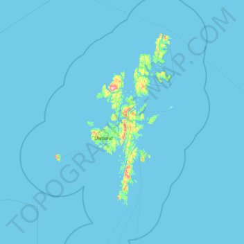
Name: Shetlandinseln topographic map, elevation, terrain.
Location: Shetlandinseln, Schottland, ZE2 9PY, Vereinigtes Königreich (59.63333 -2.03333 61.03333 -0.63333)
Average elevation: 4 m
Minimum elevation: -2 m
Maximum elevation: 436 m