
Thank you for supporting this site ❤️
Make a donation
Make a donation
Indian subcontinent topographic map
Click on the map to display elevation.
Thank you for supporting this site ❤️
Make a donation
Make a donation
About this map
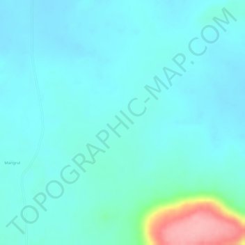
Name: Indian subcontinent topographic map, elevation, terrain.
Location: Indian subcontinent, Arni, Yavatmal, Maharashtra, India (19.99995 77.99995 20.00005 78.00005)
Average elevation: 325 m
Minimum elevation: 302 m
Maximum elevation: 432 m
Thank you for supporting this site ❤️
Make a donation
Make a donation