
Thank you for supporting this site ❤️
Make a donation
Make a donation
Winsted topographic map
Click on the map to display elevation.
Thank you for supporting this site ❤️
Make a donation
Make a donation
About this map
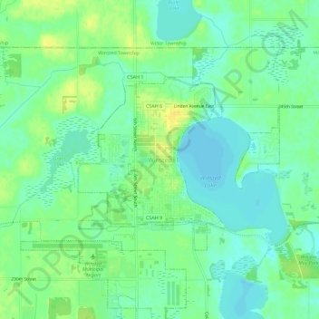
Name: Winsted topographic map, elevation, terrain.
Location: Winsted, McLeod County, Minnesota, 55395, United States (44.94463 -94.06896 44.98463 -94.02896)
Average elevation: 310 m
Minimum elevation: 300 m
Maximum elevation: 322 m
Thank you for supporting this site ❤️
Make a donation
Make a donation