
Thank you for supporting this site ❤️
Make a donation
Make a donation
Biggesee topographic map
Click on the map to display elevation.
Thank you for supporting this site ❤️
Make a donation
Make a donation
Biggesee
Ten zuiden van Attendorn werd in 2013 het uitzichtplatform "Biggeblick" opgericht. Vanaf een camping leidt een 600 m lang pad naar het platform, waarop men vanuit een hoogte tussen de bomen een uitzicht heeft op de Biggesee.
Thank you for supporting this site ❤️
Make a donation
Make a donation
About this map
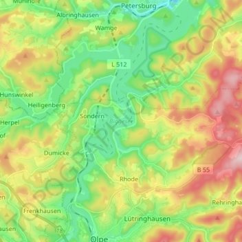
Name: Biggesee topographic map, elevation, terrain.
Average elevation: 387 m
Minimum elevation: 262 m
Maximum elevation: 581 m
Thank you for supporting this site ❤️
Make a donation
Make a donation