
Thank you for supporting this site ❤️
Make a donation
Make a donation
Cipondoh Indah topographic map
Click on the map to display elevation.
Thank you for supporting this site ❤️
Make a donation
Make a donation
About this map
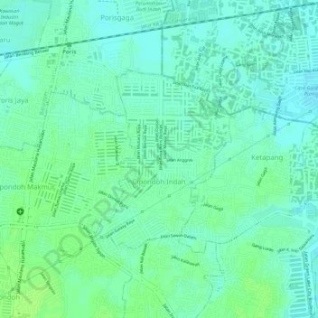
Name: Cipondoh Indah topographic map, elevation, terrain.
Location: Cipondoh Indah, Cipondoh, Tangerang, Banten, Indonesia (-6.18723 106.68210 -6.17203 106.69459)
Average elevation: 11 m
Minimum elevation: 5 m
Maximum elevation: 16 m
Thank you for supporting this site ❤️
Make a donation
Make a donation