
Mancha Khiri topographic map
Interactive map
Click on the map to display elevation.
About this map
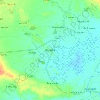
Name: Mancha Khiri topographic map, elevation, terrain.
Location: Mancha Khiri, Khon Kaen Province, Thailand (16.08948 102.49851 16.16948 102.57851)
Average elevation: 169 m
Minimum elevation: 158 m
Maximum elevation: 196 m