
Thank you for supporting this site ❤️
Make a donation
Make a donation
Cuchareta Baja topographic map
Click on the map to display elevation.
Thank you for supporting this site ❤️
Make a donation
Make a donation
About this map
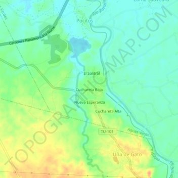
Name: Cuchareta Baja topographic map, elevation, terrain.
Location: Cuchareta Baja, Aguas Verdes, Zarumilla, Tumbes, Perú (-3.54447 -80.26027 -3.50447 -80.22027)
Average elevation: 19 m
Minimum elevation: 4 m
Maximum elevation: 42 m
Thank you for supporting this site ❤️
Make a donation
Make a donation