
Thank you for supporting this site ❤️
Make a donation
Make a donation
Rührberg topographic map
Click on the map to display elevation.
Thank you for supporting this site ❤️
Make a donation
Make a donation
About this map
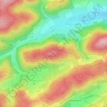
Name: Rührberg topographic map, elevation, terrain.
Location: Rührberg, Finnentrop, Kreis Olpe, Noordrijn-Westfalen, Duitsland (51.24033 8.09101 51.24043 8.09111)
Average elevation: 458 m
Minimum elevation: 352 m
Maximum elevation: 567 m
Thank you for supporting this site ❤️
Make a donation
Make a donation